 |
The starting point for the implementation of an improved management system is the identification and mapping of the resources on hand. Accurate maps and assessment / classification of the landscape are essential to fully evaluate the productive capability and potential. Maps are also the basis for many farm record keeping systems and are becoming more widely required for management of agricultural contractors and within precision agriculture activities. |
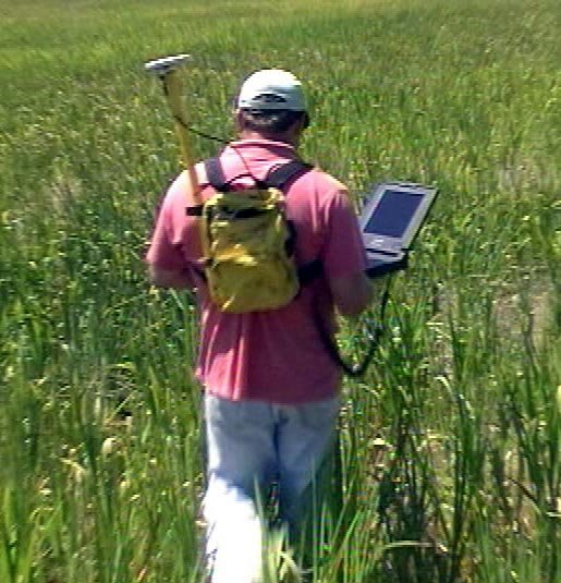
The process combines existing data resources such as aerial photography, topographic and farm maps together with a farm visit using accurate differential global positioning system (DGPS) equipment to locate and map features of interest. This information is then used to create a multi-layered, geo-referenced map for printing or importing into the clients record keeping/mapping software.
Combined, this information then forms the basis for determination of productive capability and determination of an agronomic management strategy.
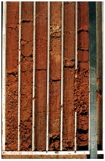
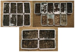
In addition to mapping of infrastructure, the Farrer Centre is able to undertake a landscape capability survey and soil profile investigations. Utilising a range of hydraulic soil sampling equipment the soil cores are collected for physical description and chemical analysis.