
 |
Understanding soil variability, locally or across a district, can greatly enhance resource management. Suitability for particular production systems, design of irrigation and dryland farming layout, identifying management zones, agronomic management and irrigation channel and dam seepage can all benefit from knowing how the soil changes within the landscape, leading to increased economic returns and reducing the risk of environmental degradation. |
With a soil's electrical conductivity indicating water and salt levels and these being influenced by its texture, international and local research along with extensive field experience is showing that measurement of apparent electrical conductivity using electromagnetic induction (EMI) techniques can greatly assist in detecting and mapping soils physical characteristics.
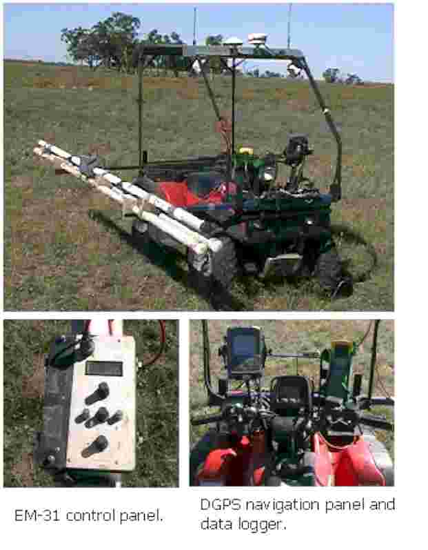
Having both EM31 and EM38 conductivity information for profiles 0.75m to 6.0m can be mapped.
Since 1992, having undertaken over 300 electromagnetic surveys, covering 250 000 ha throughout eastern Australia, Charles Sturt University’s Farrer Centre has become one of Australia’s most experienced EMI service providers.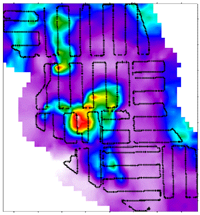
Some of the applications for EM surveys include:
